Apps for measuring land: estimate the area of your lot using your cell phone.
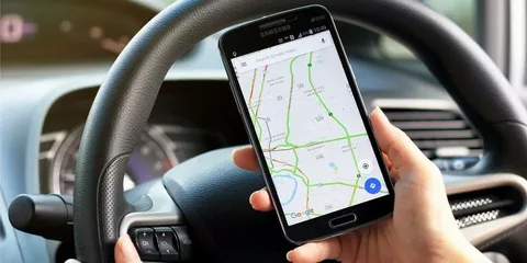
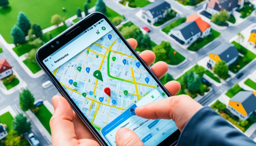
You can estimate the approximate size of a plot of land by walking around its perimeter with your cell phone in hand. apps for measuring land They combine the device's GPS with satellite images from Google and calculate the area from the points you mark. It's fast, it's free, and it solves many everyday problems.
First of all, however, it's necessary to align expectations. The GPS on a typical smartphone has error of several meters In practice, this translates to between 3 and 10 meters in open areas, and is much worse near dense forest, hills, or buildings. This means that these apps are useful for... area estimate, and never for legal demarcation, boundary between neighbors, or georeferencing of property.
In this guide you will see which apps work well, how to reduce measurement error, and at what point the conversation stops being about apps and starts requiring a qualified professional.
How do these apps calculate area?
The principle is simple. You mark vertices — either by walking to each corner of the plot or by tapping on the satellite image — and the app treats these points as a polygon. With the coordinates of each vertex, calculating the area and perimeter is straightforward math.
The accuracy of the result therefore depends entirely on How accurate are these coordinates?. And that's where the limitation lies. A cell phone's GPS receiver is designed for urban navigation, not for surveying. It delivers a position with an uncertainty of meters—enough to tell you what street you're on, but insufficient to tell you exactly where your lot ends.
An important detail: the smaller the plot of land, the greater the impact of the error. On a 50-hectare farm, a few meters of deviation at each vertex makes little difference to the total. On an urban lot measuring 10 by 25 meters, the same deviation can represent a huge percentage difference.
What is it for — and what is it not for?
Uses where cell phone estimation is appropriate:
- Calculate the area in square meters to estimate the amount of input, seed, fertilizer, or pesticide needed.
- Estimate how much grass, gravel, or fencing you will need to buy.
- To have an idea of the size of a property before visiting or negotiating.
- Mentally dividing a property into plots for planting or grazing planning.
- To measure the approximate distance between two points on a property.
Uses for which the cell phone no Under no circumstances should it serve this purpose:
- Define the boundary with the neighbor. An error of three meters on each side turns into conflict and a lawsuit.
- Georeferencing of rural property. It requires a geodetic GNSS receiver, methodology, and a qualified professional, with a technical document certified by INCRA.
- Registration at the land registry office, subdivision, or adverse possession. The plan and descriptive report must be signed by a legally qualified professional with registered technical responsibility.
- Engineering project, earthmoving or site layout. Here, the tolerance is in centimeters, not meters.
- Expert report, expert opinion, or any document with legal value. No store app produces legally valid measurements.
In short: what comes out of your phone is a number for you to plan with. What's valid on paper only comes from professional equipment and someone authorized to sign it.
2 apps that calculate land area
These two apps are available on the Brazilian Google Play Store, can be used for free, and do what's needed here: they close a polygon based on the points you mark and return the area in square meters, hectares, or acres.
Area and Distance Measuring Tool. This app, internationally known as GPS Fields Area Measure, is the most complete on the list for field use. It allows you to mark vertices by walking the perimeter, tapping on the map, or combining both methods; it saves measurements, lets you edit each point later, and exports the data. It also has a path-based measurement mode, useful in large areas. It's free with ads and offers an optional subscription. In the Brazilian Google Play Store, the app is licensed by [Company Name - missing from original text]. Farmis, The app is for Android. There's a similar app on iPhone, "GPS Fields Area Measure Map," but the Brazilian App Store shows a different seller, [name of seller missing]. Rent UAB It's impossible to say for sure that it's the same team, so if you're going to install it on iOS, check the developer and reviews first.

Google Earth. It includes a measurement tool that calculates area and perimeter on top of the satellite image. It's the best choice when the terrain has visible boundaries from above—fence, road, tree line—because you draw the polygon by looking at the photo, without relying on the device's GPS. It works on Android, iPhone, and also in a computer browser, with a larger screen and more comfort for adjusting the vertices. It does not display ads.

Google Maps measures distance, it doesn't calculate area.
O Google Maps It appears on almost every list of "land measurement apps," and it's only fair to clarify what it actually does: by tapping and holding a point on the map, you open the option. Measure distance and it can link several points to traverse a contour. What it returns is length, in meters or kilometers.
There is no area function in Google Maps. It doesn't close polygons or deliver square meters, hectares, or acres. If someone promised that, they promised what the app doesn't have.
Still, it's useful as a backup, and that's why it's still here: it's already installed on virtually every Android device, instantly solving the problem of checking a fence, measuring the length of a fence, or the distance between the road and the property — and, if you want the area, you can measure the sides in Maps and do the calculation manually on rectangular plots.

How to reduce measurement error
You're not going to turn your cell phone into a surveying instrument, but you can get much closer to the real number with a few precautions:
Step 1: Open the app and wait for the GPS to stabilize for two or three minutes before marking the first point. The first position is usually the worst one.
Step 2: Measure in an open area and, if possible, away from high walls, dense vegetation, and slopes. Obstacles reduce accuracy.
Step 3: Stop at each vertex and wait a few seconds with your phone still before recording. Recording while in motion increases the deviation.
Step 4: When the terrain has a visible outline in the satellite image, draw the polygon on the photo instead of walking around. It usually gives better results than using GPS while moving.
Step 5: Repeat the measurement on another day and at another time. If the two values are close, the estimate is reliable; if they differ significantly, the signal was poor.
Step 6: Check the result against a known reference, such as the frontage stated in the deed or the measurement of a known fence.
How to download and configure
The process is the same for all three:
- Open Google Play (Android) or the App Store (iPhone) and search for the app's exact name. Check the developer to avoid installing a clone.
- Tap install and wait for the download to complete.
- When opening the app for the first time, grant location permission. Without it, the app cannot track any locations.
- In your Android settings, make sure that "location accuracy" (which combines GPS, Wi-Fi, and mobile networks) is enabled.
- If you're measuring in an area without cell phone signal, download a map of the region before you leave. GPS works without internet, but the satellite image won't load.
Resources that make a difference in the field.
When choosing, certain features separate a useful app from one that just clutters the screen with ads:
- Edit vertices after saving. Being able to drag a point that has become crooked avoids having to redo the entire loop.
- Unit exchange. Square meter, hectare, alqueire, and acre — each region of Brazil uses a different unit of reference.
- Viewing modes. Switching between satellite, hybrid, and relief views helps to recognize the actual boundaries of the terrain.
- Save and export. Save the measurement with your name so you can send it by email or open it on your computer later.
- GPS accuracy indicator. A reputable app shows the current uncertainty in meters. If it hides this information, be suspicious.
Use in agriculture
It is in the field that these applications yield the best results, precisely because the areas are large and the relative error is small. Knowing with good accuracy how many hectares a plot has allows for the proper sizing of seeds, fertilizer, lime, and pesticides without waste, in addition to helping estimate productivity per area at the end of the harvest.
It's also useful for dividing the property into rotational grazing paddocks, planning the layout of a new fence, or calculating how much fencing will be needed. For communicating with the input supplier or cooperative member, the estimate from your cell phone is already sufficient.
What it does not replace is the official survey of the property. Rural property documentation, certification with INCRA (National Institute for Colonization and Agrarian Reform), and any process involving legal boundaries continue to depend on a georeferenced survey carried out by a qualified professional.
Frequently asked questions
How accurate is a land measurement app?
It depends on the device's GPS and the local conditions. In open skies, the typical error is a few meters per point measured. Near woods, hills, or buildings, it gets worse.
Can I use this measurement to register the land at the land registry office?
No. A legally valid document requires a plan and descriptive report signed by a qualified professional, using appropriate equipment and with registered technical responsibility.
Is it useful for resolving boundary disputes with a neighbor?
No. The difference between two measurements taken with a cell phone on the same property can be several meters. Boundary disputes are resolved with a professional survey.
Does it work without internet?
The GPS works without a connection. What needs internet is the background satellite image — that's why it's worth downloading a map of the area before going into the field.
Is it better to walk the perimeter or draw it on the map?
If the boundaries are clearly visible in the satellite image, drawing them usually yields better results. Walking is the best option when the terrain is covered by vegetation or the image is outdated.
Is there an app with topographic precision?
Centimeter-level precision is only achievable with a geodetic GNSS receiver, often with real-time correction. Some of these receivers connect to a cell phone, but it is the external equipment that takes the measurements, not the phone.
Conclusion
To the question "approximately how big is this plot of land?", the answer is... Area and Distance Meter and the Google EarthThe two of them close the polygon and restore the area. Google Maps It acts as a supporting tool, to check distances—it doesn't calculate area. All are free, easy to use, and, with the right precautions, provide a good enough estimate to plan the purchase of materials, agricultural supplies, or the next fence.
What they don't do—and it's worth repeating—is legally valid measurements. Cell phone GPS can be off by meters, and meters can lead to boundary disputes, deed problems, and misplaced construction. To estimate, use the app. To document, call a qualified professional.
Do you use another measurement app that works well in your area? Tell us about it in [link/website/etc.]. contato@noticiatecnologia.com.